Product tags
- torukmachinesautomationtest systems
product infomation
Country of origin: Turkey

Country of origin: Turkey
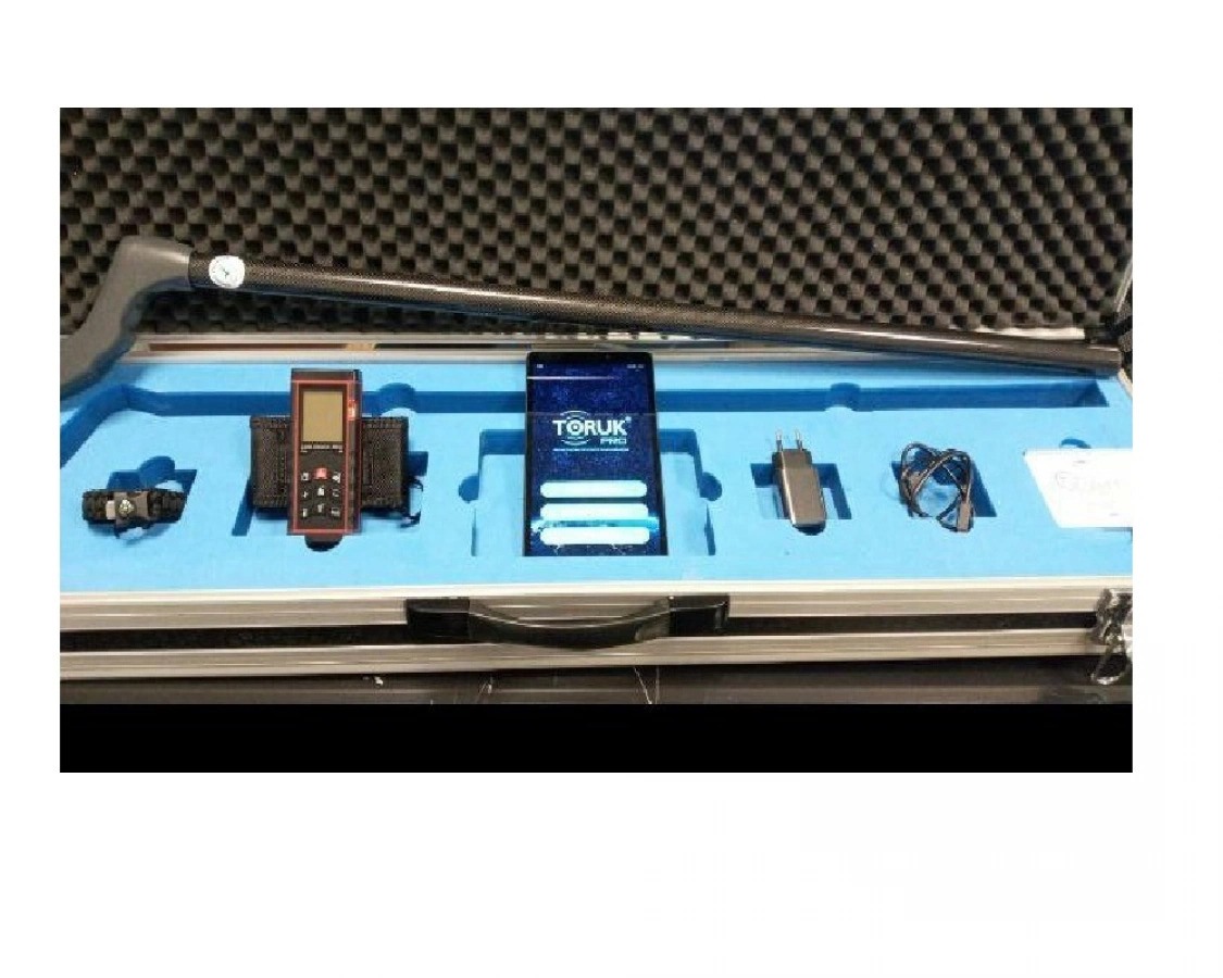
By measuring the geomagnetic fields on the ground with high resolution, it detects the magnetic differences coming from underground on the measurement field. With our embedded software and original algorithms, point area scanning is performed to create stable matrices of the measurement area free from interference. The raw data collected are processed and analyzed with software specific to TORUK PRO, and thus different materials in the soil are visualized by anomaly mapping method. Depending on the mass and volume size of the materials, depth information of up to 30 meters can be accessed in the measurement area, the measurements are directly proportional to their depths, the larger the mass and the volume, the greater the detection depth, and the smaller the detectable depths. In addition to its ease of use, TORUK PRO offers (2D) 2-dimensional and (3D) 3-dimensional anomaly maps so that the obtained data can be displayed more easily and comprehensively. Since TORUK PRO can calibrate itself according to the soil structure during measurement, it achieves efficient results in countries and regions as well as continents with geographical differences. Thanks to the hardware and software designed in harmony with each other; provides efficient and effective solutions for determination of infrastructures such as infrastructure line detection, archaeological structure and remains, cavity structures, precious metals, excavation, rock structures.
For contacting with a company or filling enquiry form, please click here to login first.
This action is free of charge for all our members. If you are not a member, please register here
These languages are spoken in this company:
This company accepts these payment types:
This company accepts these shipping & logistic types:
This company accepts these areas for aftersales inspection:
This company would not like to sell products to these countries: